Skip to content
Kati Lacey | Freelance illustrator & designer in Banbury, Oxford, UK
  • Portfolio
    • Illustrated maps
    • Non-fiction & interpretation
    • Branding & campaigns
  • Services
    • Maps
    • Non-fiction
    • Branding
    • Book covers
    • Editorial
    • Posters
  • Sectors
    • Museums & heritage
    • Universities & research
    • Publishing
  • Insights
  • About
    • Approach
  • Contact
ILLUSTRATION & DESIGN

Illustrated maps

Visitor and site maps, campus maps, walking routes, family trails and editorial maps. Each one balances finding the way with a sense of what makes the place distinctive.
  • Maps
  • Non-fiction & interpretation
  • Branding & campaigns
Home | Portfolio | Illustrated maps
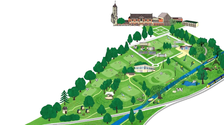
Illustrated map of the St Edward’s School Field of Dreams development: playing fields, trees, paths and buildings between the school and the river

Illustrated fundraising map for St Edward’s School: Field of Dreams

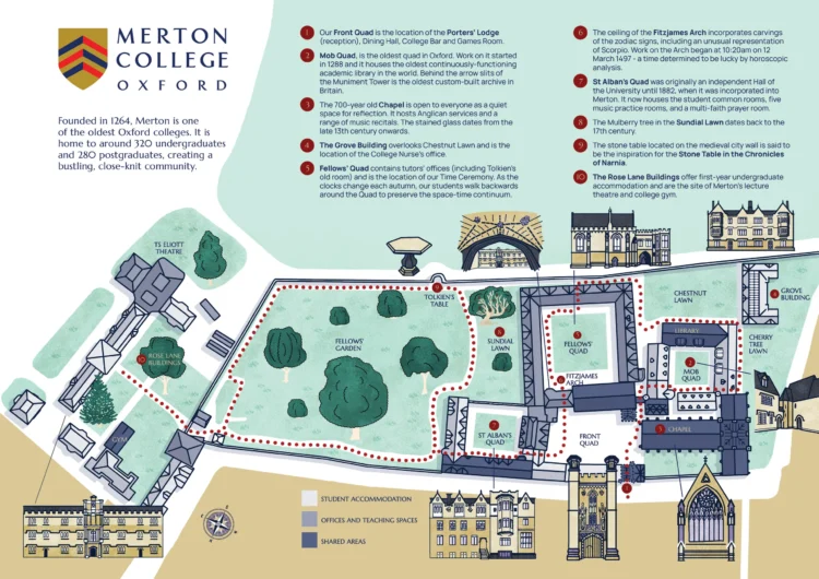
Illustrated map of Merton College, Oxford, with the buildings shown by their rooflines, a dotted walking route and numbered stops

Illustrated map and leaflet for Merton College, Oxford

Illustrated campus map of Wolfson College, Oxford, with the college crest, accommodation, quads, gardens and people on foot and by bike

Illustrated visitor map for Wolfson College

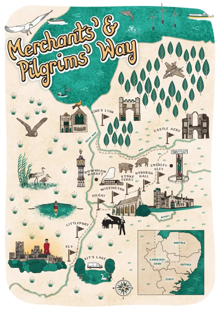
Illustrated walk in Norfolk

Illustrated walking map: Merchants’ and Pilgrims’ Way

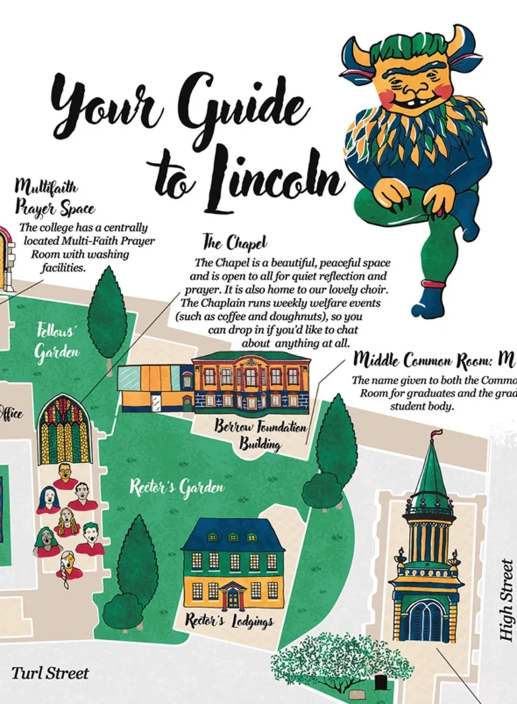
Detail of the illustrated campus map of Lincoln College, Oxford, with the college Imp beside the title Your Guide to Lincoln

Campus map for Lincoln College, Oxford

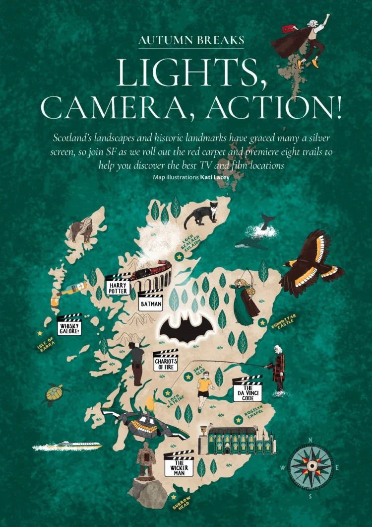
Scottish Field magazine page titled Lights, Camera, Action! with an illustrated map of Scotland’s film and TV locations

Magazine map illustration series for Scottish Field

Illustrated educational map of the Welsh coastline for primary schools, with labels in Welsh, Irish and English

Educational map illustration

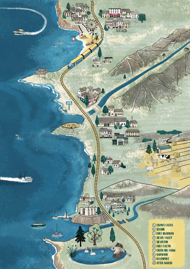
Map illustration cycle route Barmouth bay feature image by Kati Lacey illustrator

Illustrated cycling map

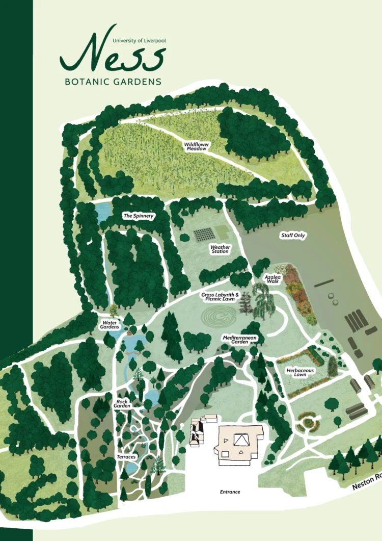
Ness Botanic Gardens Accessibility Map Vertical by Kati Lacey

Botanic garden map illustration

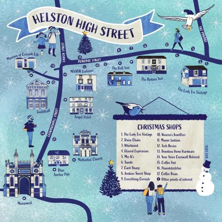
Illustrated Christmas shopping map of Helston High Street: numbered shops, the Guildhall, the Angel Hotel and other landmarks under falling snow, with a list of Christmas shops

Illustrated Christmas shopping map

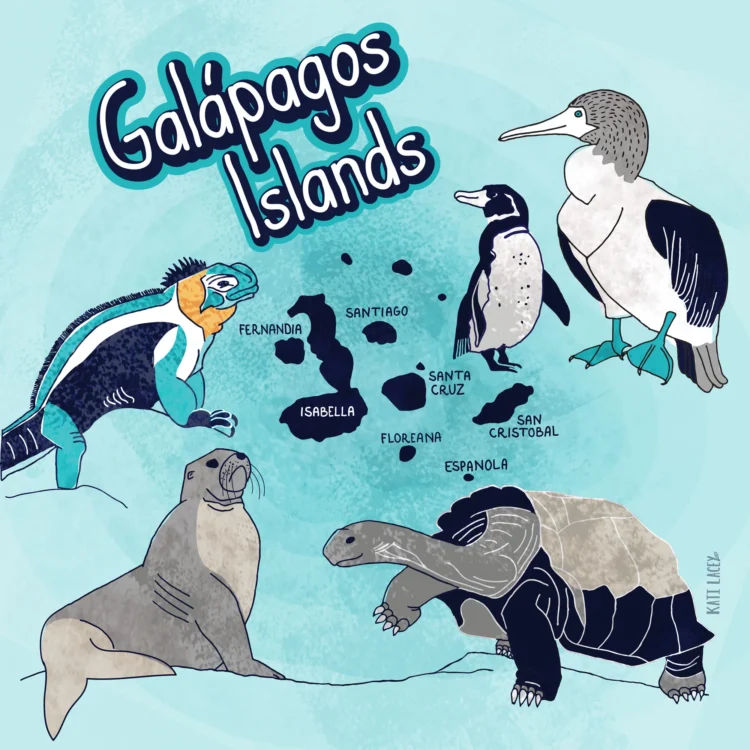
Illustrated map of the Galapagos Islands surrounded by a marine iguana, a penguin, a blue-footed booby, a sea lion and a giant tortoise

Island map illustration

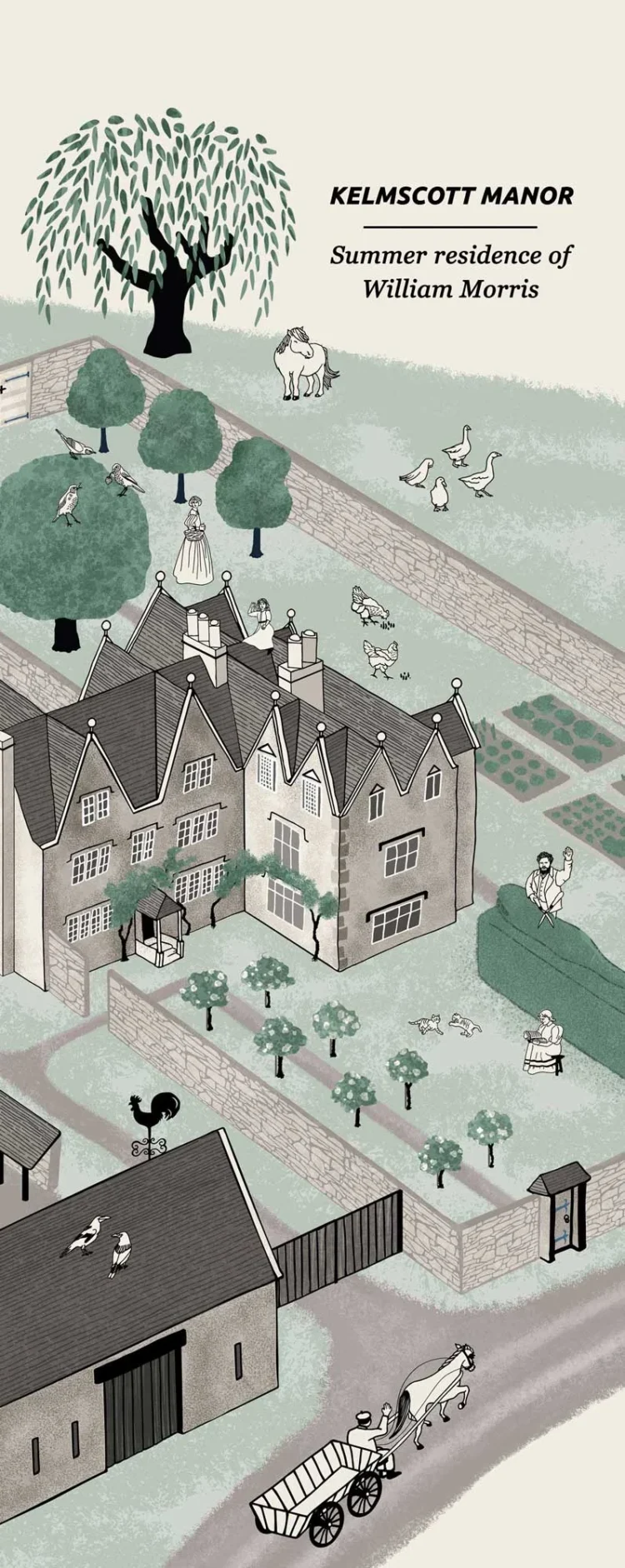
Site map ilustration vertical arrangement for Kelmscott Manor by Kati Lacey freelance map illustrator

Site map illustration: Kelmscott Manor

Village map simple illustration for Kelmscott by Kati Lacey map illustrator

Village map illustration for Kelmscott Manor

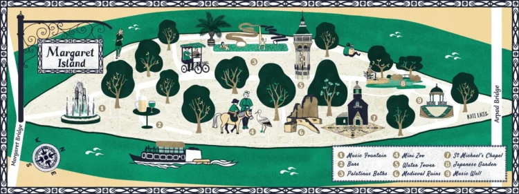
Illustrated map of Margaret Island in Budapest: the music fountain, water tower, medieval ruins and Japanese garden among trees, with a riverboat on the Danube

Map illustration of Margaret Island, Budapest

Illustrated map of Oxford for Uncomfortable Oxford, with questions such as Who owns Oxford? set among figures and landmarks

Uncomfortable Oxford map illustration

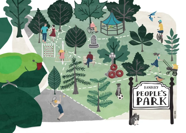
Peoples Park Banbury Wall Art Print Illustration imageby Kati Lacey

Illustrated park map

I’ve drawn maps for colleges, heritage sites, gardens, parks and magazines. Some are for visitors finding their way around a site, others go with a walk, a tour or an article.

How I work on maps

Get in touch

Have a place or subject that needs explaining? Tell me about your project – a few lines is enough to start.

Freelance illustrator based in Oxfordshire, working across the UK.

Quick links

Portfolio
Illustrated maps
Non-fiction & interpretation
Brand & campaign illustration
Museums & heritage
Universities & research
How I work
Insights

Keep in touch

Sign up to my newsletter. You can unsubscribe at any time.

© Kati Lacey 2026 • All Rights Reserved. •  Tel: 07939 86 2429 • Privacy Policy • Terms & Conditions