


Project details
Client
Private individual
Deliverables
Illustrated walk map with an inset location map
Themes
Sector
Service
Share project



The brief
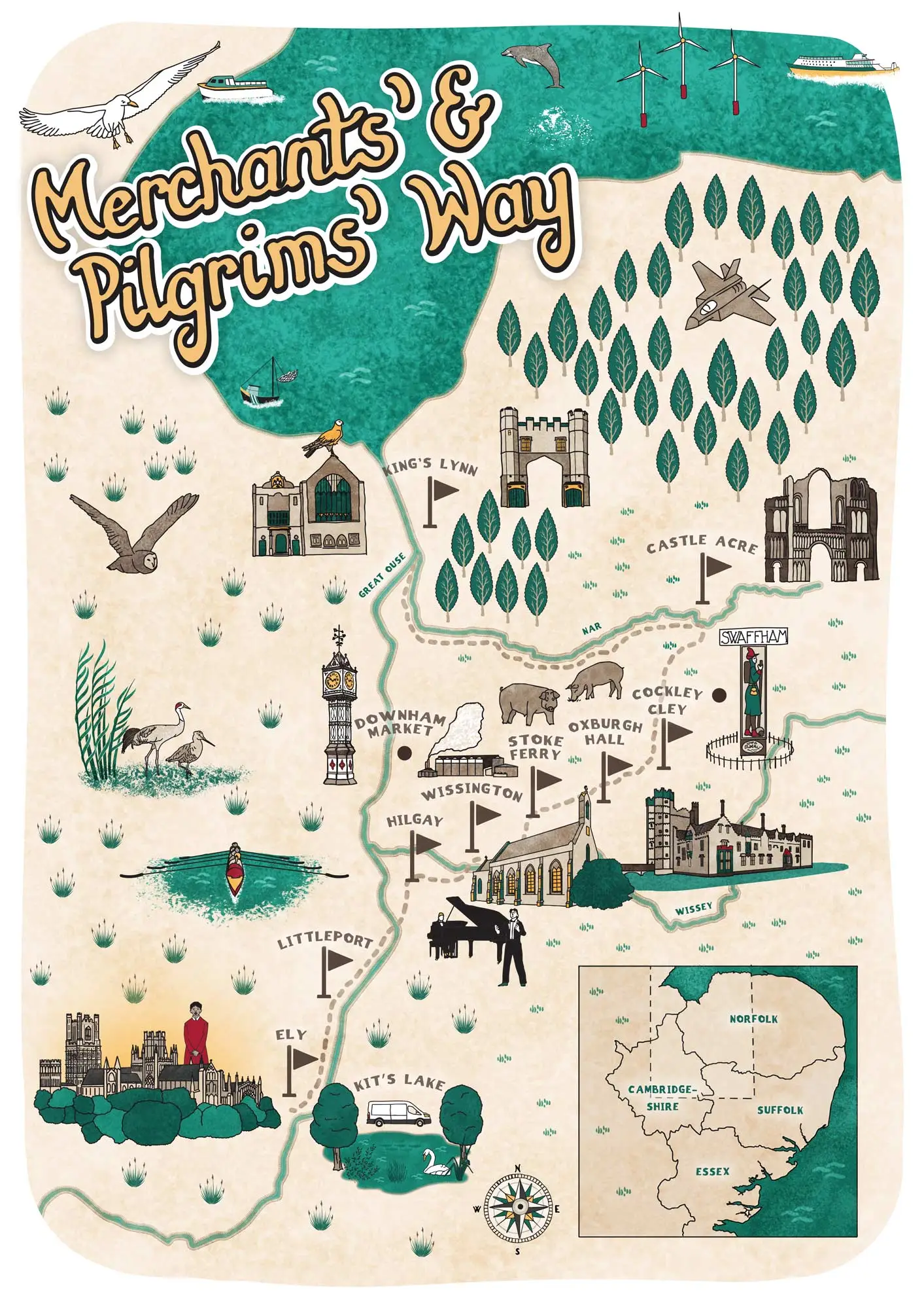
A private commission to illustrate the historic Merchants’ & Pilgrims’ Way, a walking route from Ely to King’s Lynn. The map needed to help walkers follow the trail while giving them a sense of the landscape, villages and historic places along the way.
The approach
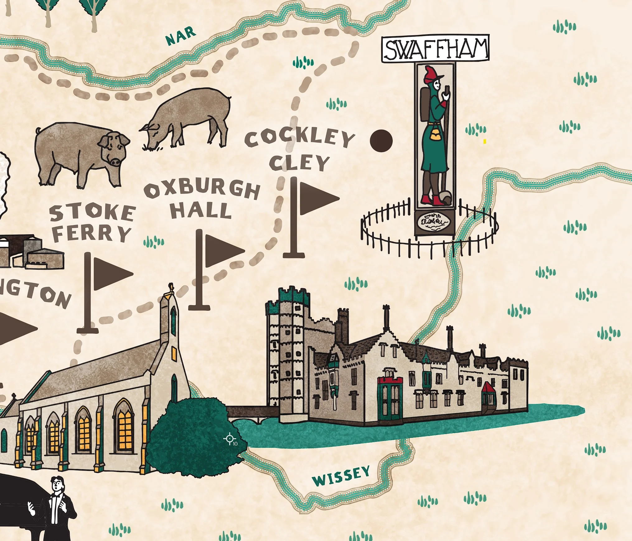
I wanted to combine clear route information with the character of an illustrated landscape. Key places along the way, including Ely, Littleport, Hilgay, Stoke Ferry, Oxburgh Hall and Castle Acre, are represented through stylised landmarks and local buildings.
Rivers, lakes and woodland provide a visual thread through the composition, while smaller details – birds, pigs, swans, boats and wind turbines – bring the surrounding countryside to life.
Hand-lettered place names and flags mark the main stops, with the lettering carefully positioned to remain legible without interrupting the illustration. An inset location map shows the trail’s wider route through Norfolk, Suffolk, Essex and Cambridgeshire.
The result
An illustrated walking map that combines practical navigation with a celebration of the route’s landscape and heritage, giving walkers both a guide to follow and a picture of the places they pass through.

Planning an illustrated map?
I draw maps for heritage sites, museums, universities and nature reserves, to help people find their way and get a feel for the place.