

Client
Wolfson College, University of Oxford
The brief
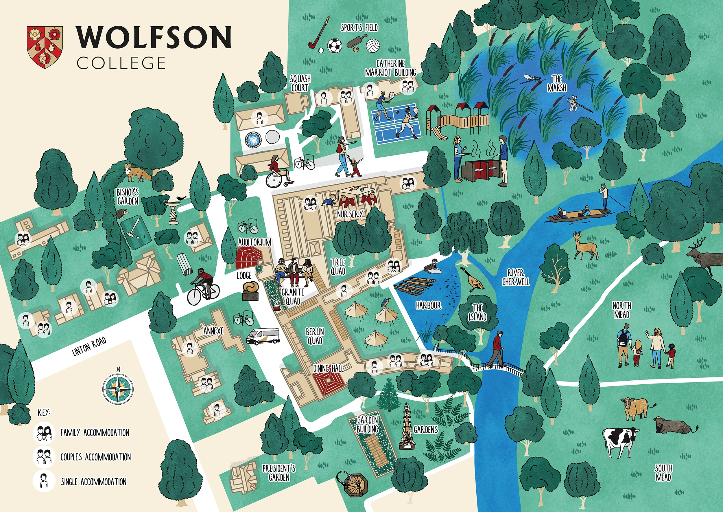
An illustrated visitor map for Wolfson College, showing the college buildings and grounds while capturing what makes the college distinctive.
The challenge
The map needed to communicate three important aspects of Wolfson equally: community, academia and nature + sustainability.
The challenge was that conventional illustrated buildings, particularly isometric views, naturally draw a lot of attention to the architecture. For Wolfson, that risked making the map feel more like a plan of the buildings than a representation of the college as a whole.
The approach
I had a lot of freedom with this project, which gave me the opportunity to think about what the map actually needed to communicate rather than simply re-creating the existing site plan in my own style.
There was already a map of the college, and the initial idea was to use this as the basis for showing the buildings in 3D isometric view. However, after researching Wolfson and talking to the client about what they wanted the map to represent, I proposed a different approach: showing the buildings from above, using their rooflines.
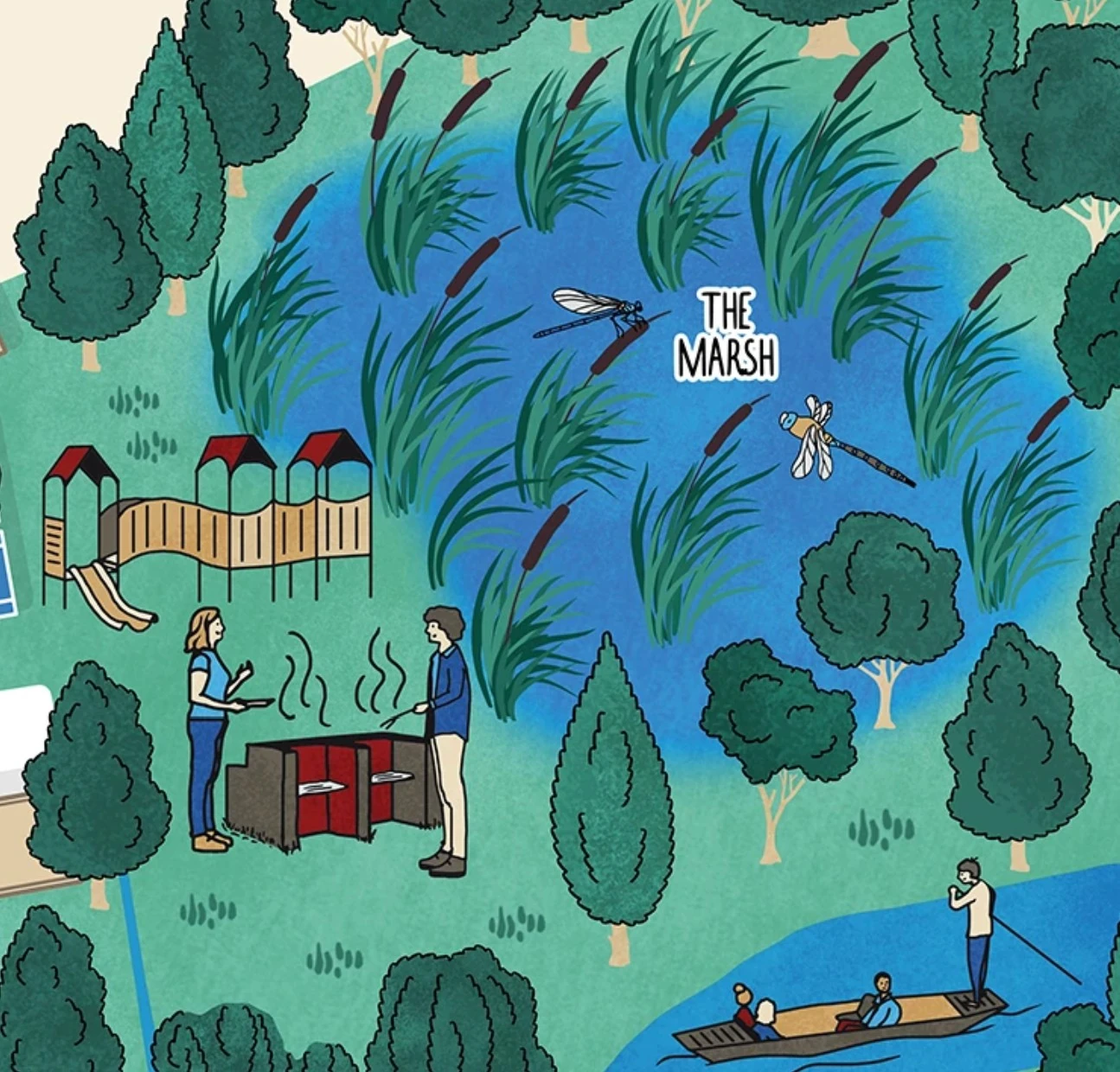
This kept the architecture accurate and recognisable without allowing the buildings to dominate the illustration. It also gave me much more space to introduce the landscape, people and wildlife that are such an important part of the character of Wolfson while retaining the option to show their green roofs as one of their sustainability initiatives.
The solution
The top-down approach allowed the buildings to remain recognisable while giving the rest of the map much more room to breathe.
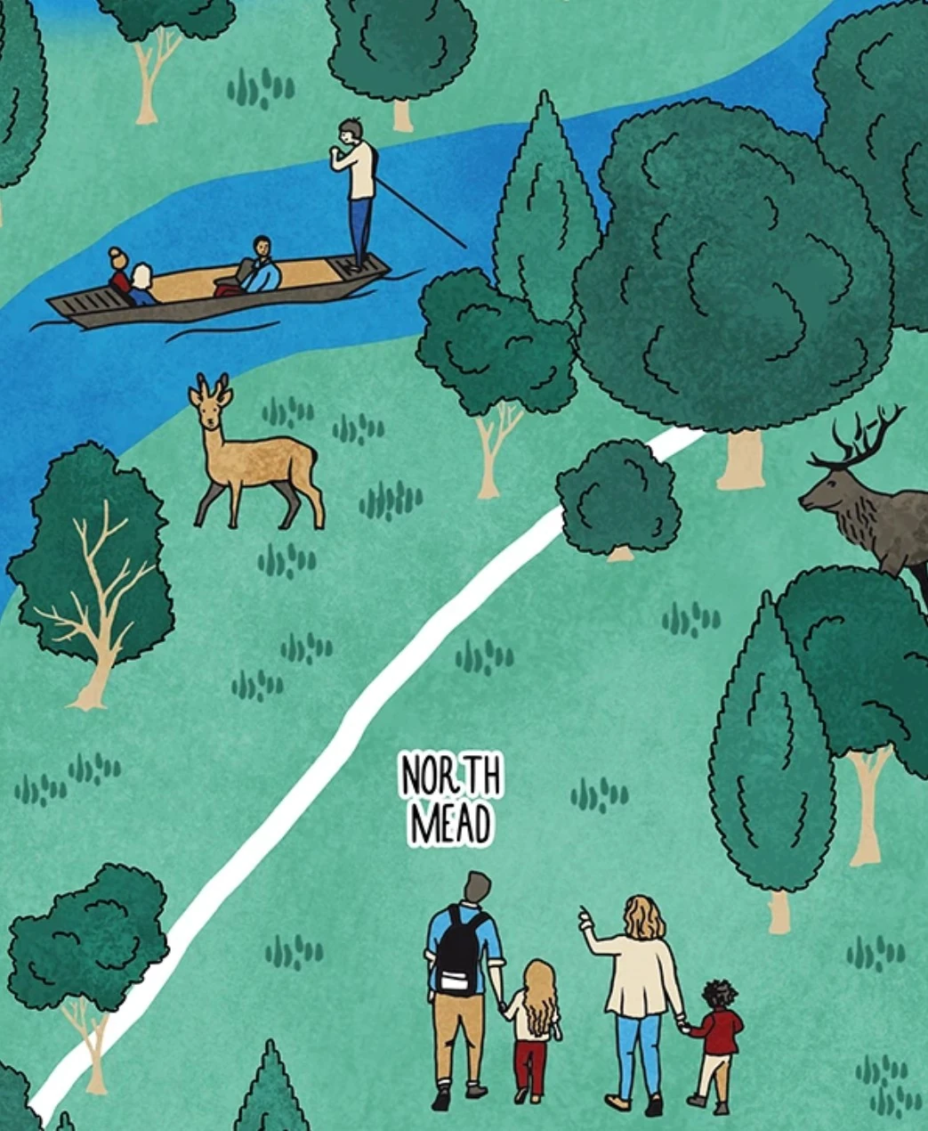
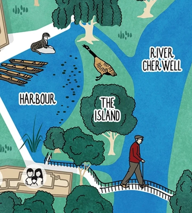
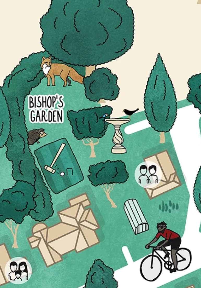
I incorporated people, wildlife and the college’s gardens and outdoor spaces, creating a sense of activity and community rather than simply showing where the buildings are. The map also reflects Wolfson’s focus on nature and sustainability, alongside its academic environment.
The result is an illustrated visitor map that does more than help visitors find their way around. It gives them a sense of the place itself – its buildings, academic community, nature and commitment to sustainability.
Outcome
An illustrated visitor map that represents Wolfson as more than its architecture, bringing together its buildings, landscape and community in a single visual language.
Interested in how illustration can help people connect with places and stories? I explore this in more detail in How museum illustration brings heritage stories to life
Themes
Sector
Service
SHARE PROJECT