


Project details
Client
Lincoln College, University of Oxford
Audience
Visitors, new students and prospective students
Deliverables
Illustrated campus map; individual illustrations from the map for college use
Themes
Sector
Service
Share project




The brief
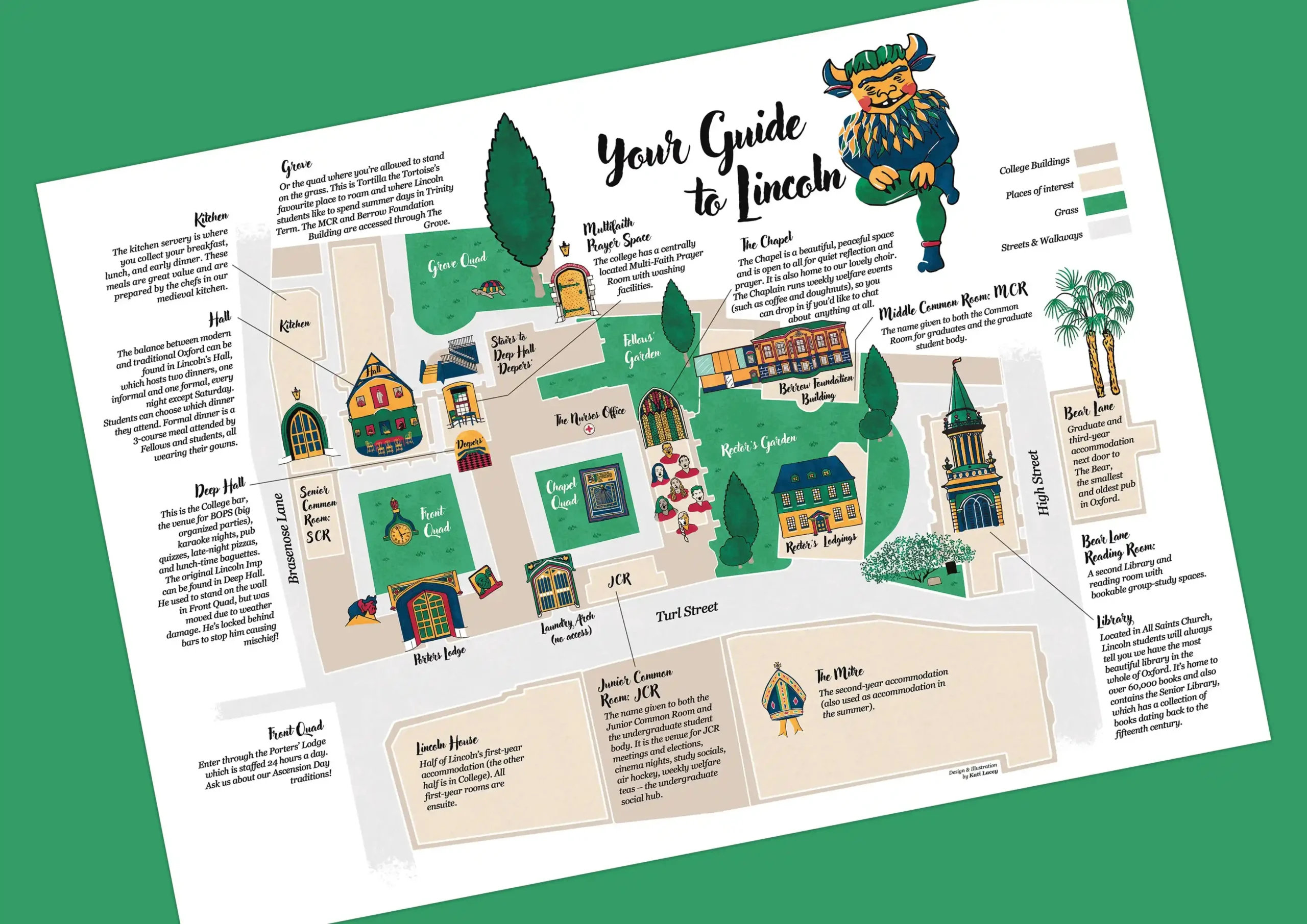
Following an earlier commission for three spot illustrations and an illustrated logo for Lincoln College’s Pathfinders programme, the college asked me to create an illustrated campus map.
The map needed to serve two purposes: helping visitors find their way around an unfamiliar college and welcoming new and prospective students with something worth keeping.
The approach
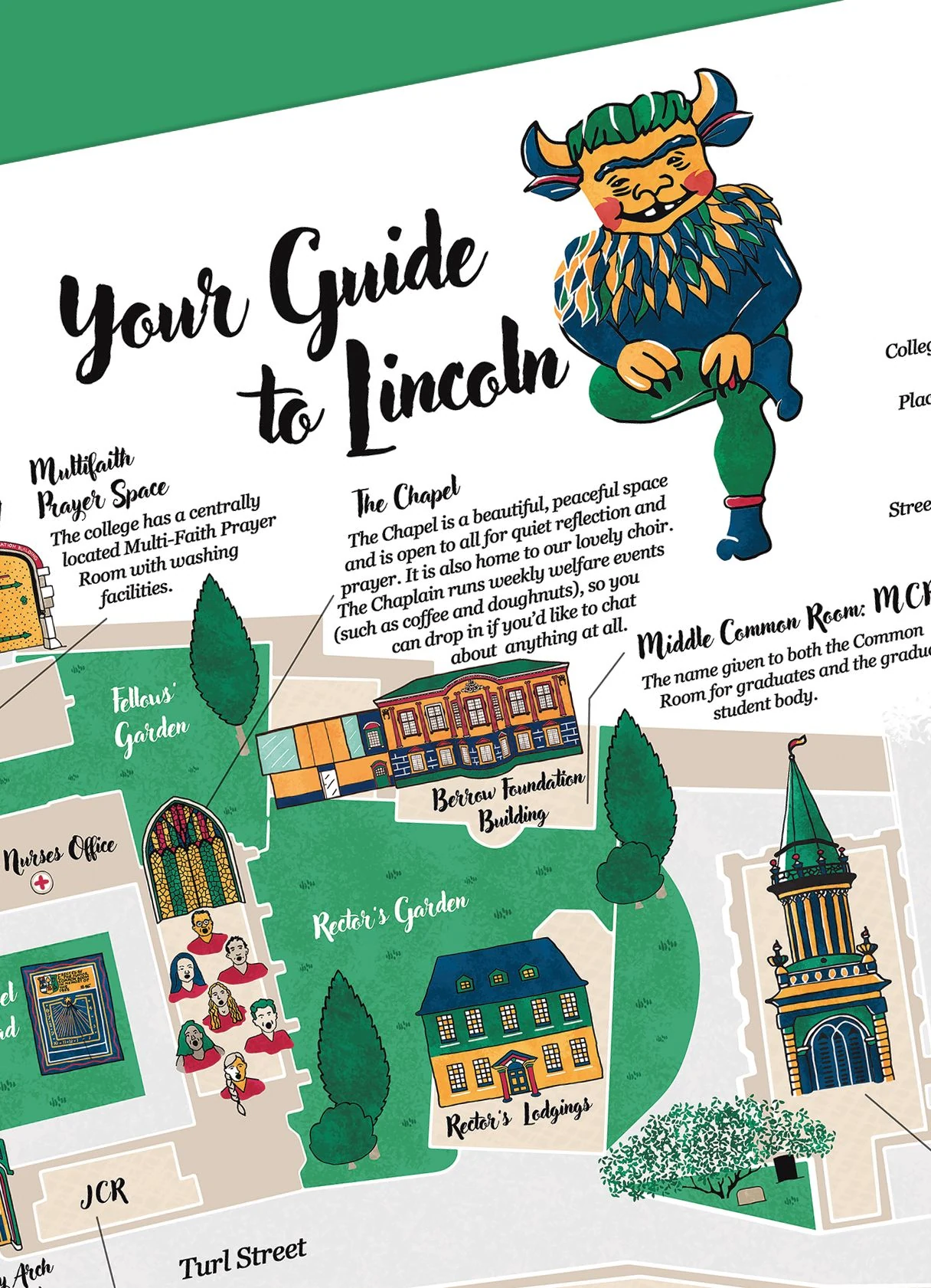
The map combines a clear layout of the college buildings and spaces with detailed illustrations that give a sense of the place. Labels and short descriptions help visitors identify key locations, including the chapel, while small details of people and activity bring the college to life.
I also made sure the illustrations could work beyond the map itself, giving the college the option to use individual drawings in its wider communications.
The result
A practical visitor map that also works as a keepsake for prospective and new students. The college has since requested individual illustrations from the map for use in its other communications.
Kati has been an utter delight to work with and her illustrations have already become a treasured part of our College community. Now, with the map, we have a lovely (and very useful!) souvenir to give our visitors!
Maryanne Saunders, Lincoln College

Planning an illustrated map?
I draw maps for heritage sites, museums, universities and nature reserves, to help people find their way and get a feel for the place.