


Project details
Client
Aberystwyth University
Audience
Primary school children in Wales
Deliverables
Educational map in Welsh, Irish and English
Themes
Sector
Service
Share project


The brief
Aberystwyth University commissioned an educational map for primary school children in Wales, as part of a wider project developed for the Hwb learning platform.
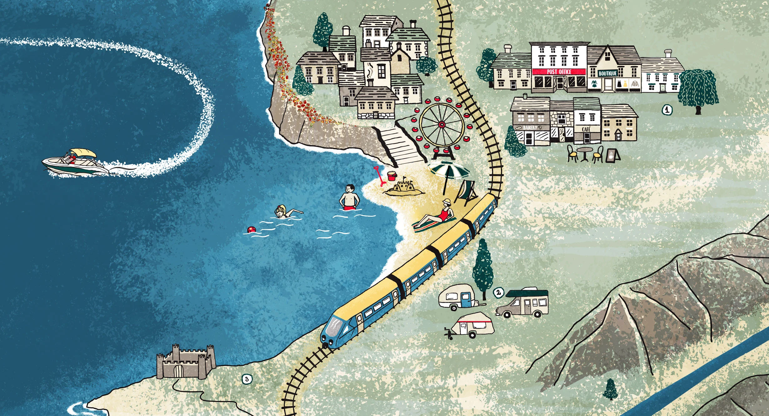
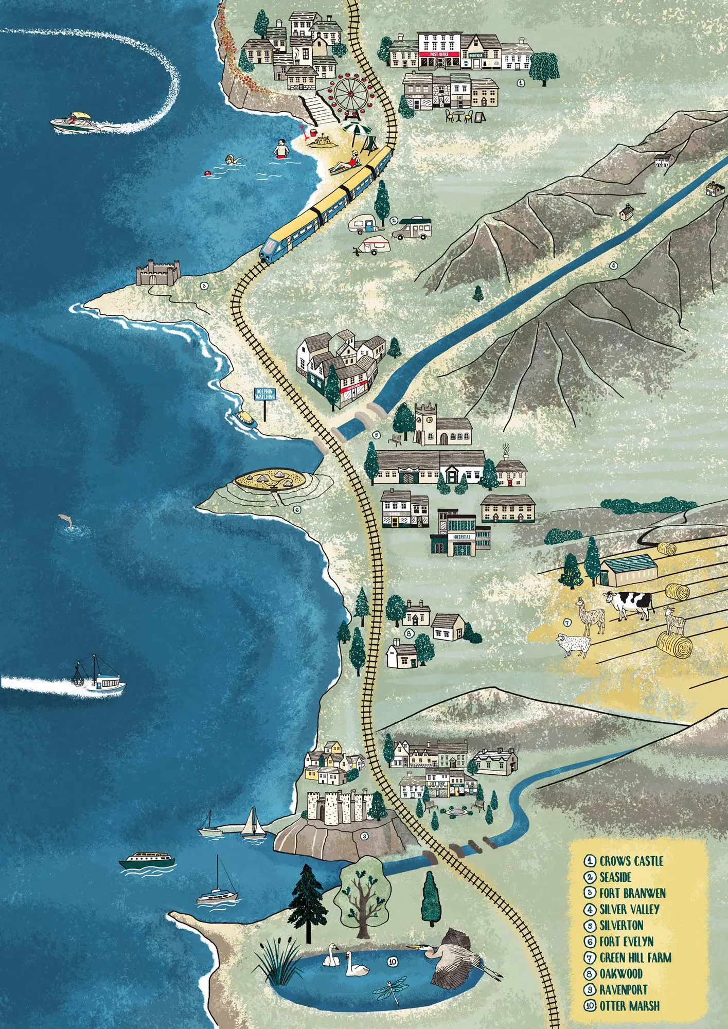
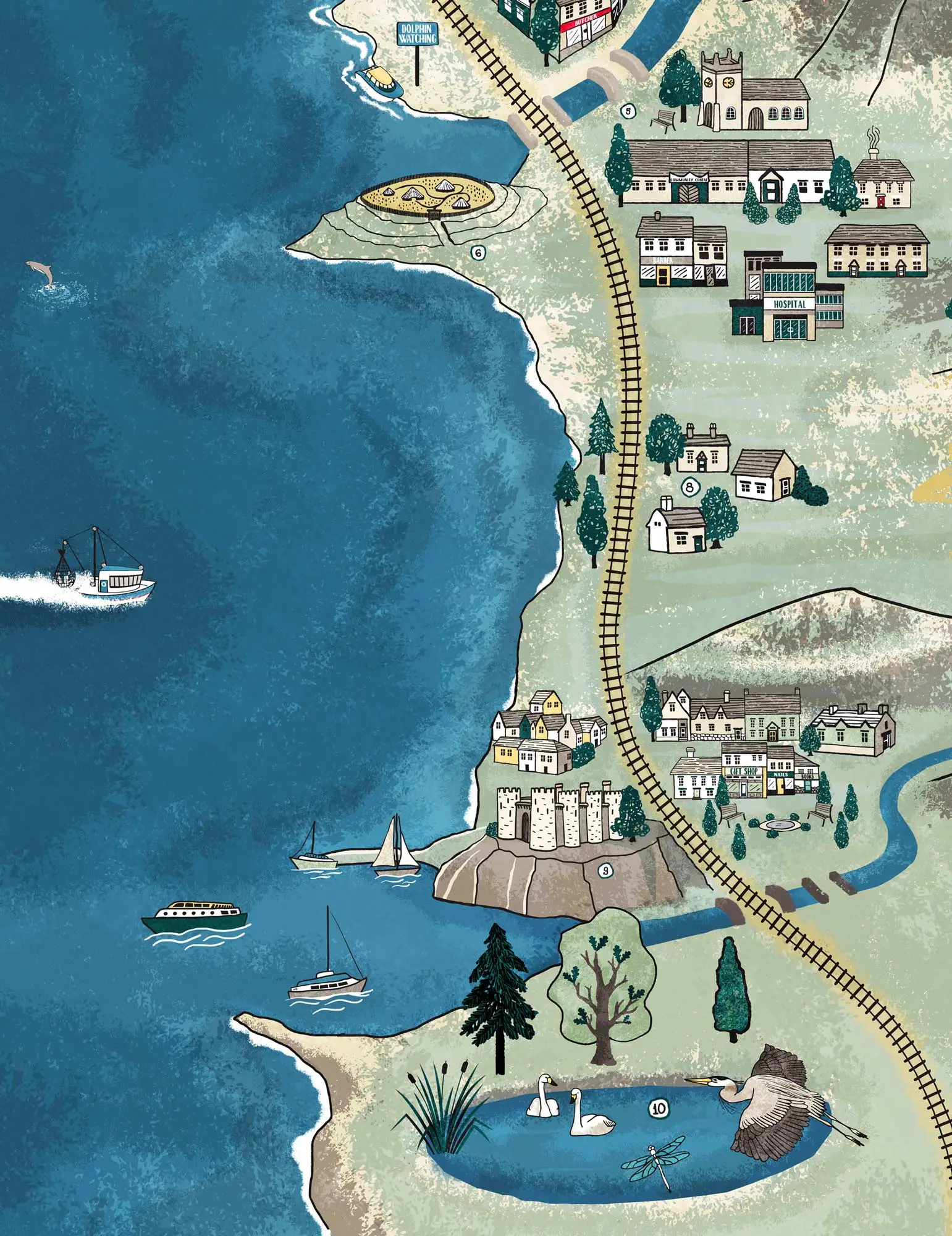
The map depicts a typical Welsh coastline, with details suggesting evidence of Iron Age settlement. It was designed to accompany a set of classroom activities.
The approach
I wanted to give children plenty to explore, filling the coastline with details that invite closer looking: towns and villages, a railway, boats, a beach, caravans, a castle on the headland and a nature reserve. Numbered markers identify points of interest, linking the map to the accompanying activities.
A deep, textured blue sea contrasts with the softer greens of the land. Having lived in Wales for many years, I was particularly pleased to work on a project rooted in its landscape.
The result
The map was produced in Welsh, Irish and English for use alongside the primary school activities on Hwb. It forms part of a wider project that also includes Iron Age character illustrations.

Planning an illustrated map?
I draw maps for heritage sites, museums, universities and nature reserves, to help people find their way and get a feel for the place.