
Map Illustration
Thoughtful maps that reveal stories of a place
Maps are often seen as purely practical tools, but they can also tell stories.
I create illustrated maps that guide people through places while revealing the lived experiences, histories and connections that make those places meaningful. Each map starts with curiosity about the site, the people who inhabit it, and how visitors might encounter it.
Through careful research and considered design choices, I aim to create maps that feel clear, welcoming and engaging – inviting viewers to explore rather than instructing them where to go.
What is map illustration?
Map illustration sits between cartography and storytelling. Unlike purely technical maps, illustrated maps combine spatial accuracy with visual narrative to communicate not just where things are, but what they have meant to the people who lived and moved through them.
In the heritage and academic contexts, map illustration helps visitors and readers understand how places were shaped by human activity and how landscapes connect past and present. By emphasising key relationships and leaving space for discovery, illustrated maps make complex information more approachable, memorable and engaging while remaining clear and useful.
Custom map illustration services
Illustrated maps can take many forms, and different projects call for different visual approaches. Style plays an important role here – not purely as decoration, but as a way of shaping how a place is perceived and understood.
Maps can be tailored to suit a wide range of contexts, from cultural and academic projects to festivals, restaurants, and visitor destinations that sit slightly off the beaten track. The visual language can shift to meet the needs of each project, balancing clarity with character and responding to the intended audience and setting.
As well as supporting orientation and wayfinding, illustrated maps can help create a sense of place. They are often used to add warmth to interpretation, support storytelling or even exist as standalone objects such as printed guides or merchandise that people enjoy looking at and explore.
Here are examples of different map illustration projects, showing how illustrated maps can be adapted to different purposes while remaining clear, engaging, and purposeful.
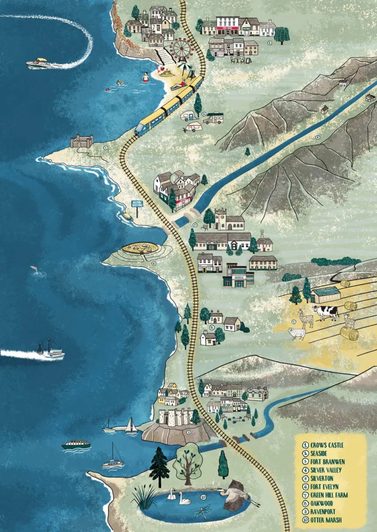
Illustrated walks

Illustrated walk maps support navigation while encouraging slower, more attentive exploration. Alongside routes and landmarks, these maps may include traces of everyday activity, historical moments, or natural features that help visitors notice details they might otherwise pass by. They are particularly well suited to estates, landscapes, historic towns and outdoor heritage sites where movement through space is part of the experience.
Family trails & treasure hunts

Family trails can inspire adventure and curiosity in younger visitors, enriching their experience. By incorporating narrative imagery, maps can become educational tools that help children discover new insights and hidden stories about a place creating new connections and a sense of belonging.
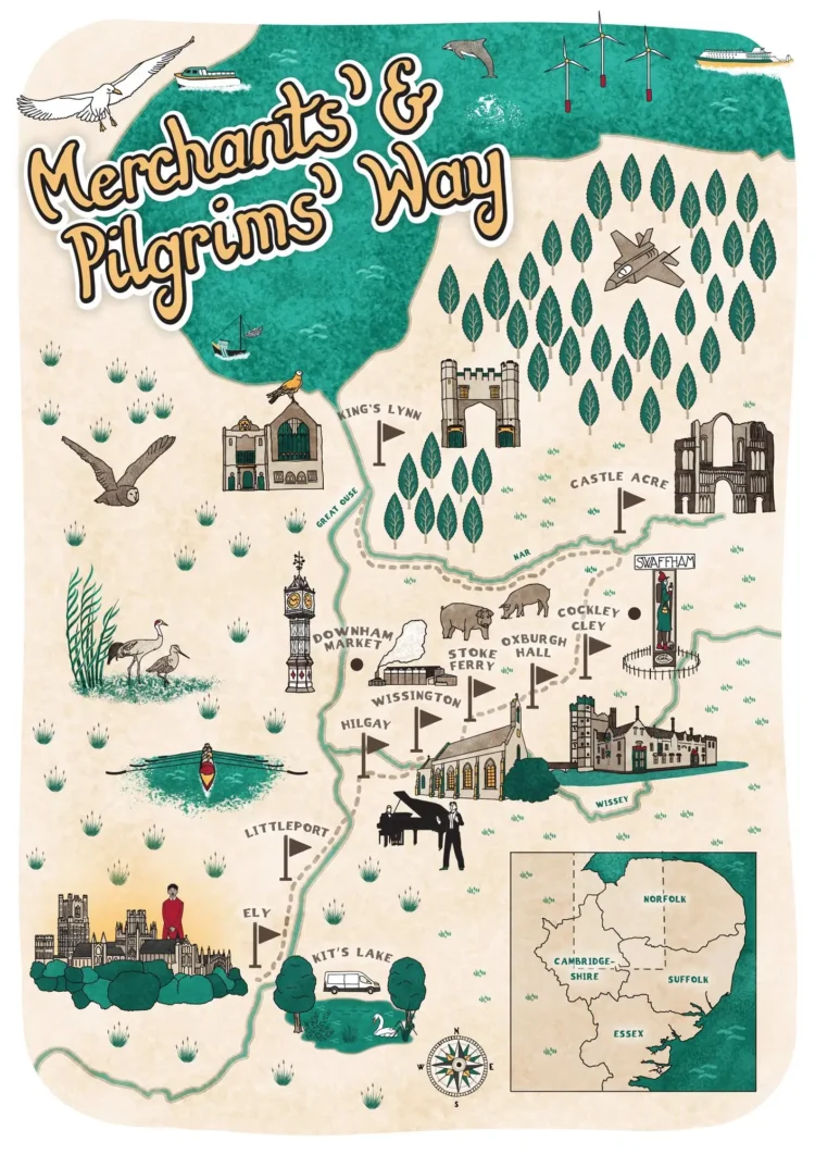
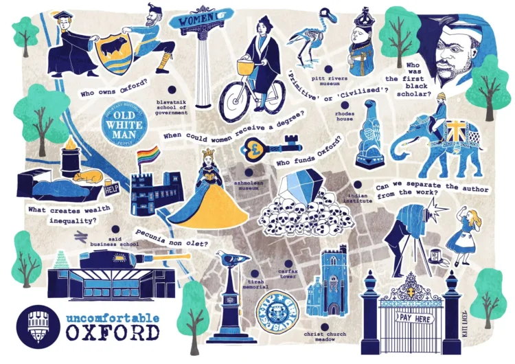
Narrative maps

Narrative maps focus on storytelling. They are especially suited to heritage sites and cultural organisations where place and history are closely intertwined. When creating these maps, there is a lot of collaborative work that goes into the research phase. The stories are then selected carefully and the visual concepts are arranged to guide the viewer through a sequence of ideas or moments, helping complex histories feel more human and accessible. Figures, paths, and landmarks are arranged so that viewers can follow a narrative connecting past and present through familiar human experiences.
Illustrated tourist board designs

Illustrated tourist board designs are more than orientation tools – they reveal the character and spirit of a destination. By combining landmarks, cultural symbols and stylised details, these maps allow visitors to connect with a place even before setting foot on it. Through careful emphasis and selective detail, these maps guide attention to what is meaningful: the features, stories and quirks that give a location its personality.
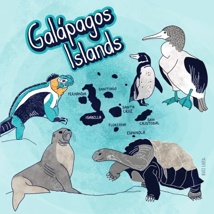
Educational Map Designs

Educational illustrated maps transform information into a visual journey. By presenting content spatially and narratively, these maps help learners of all ages discover patterns, connections and relationships that might otherwise remain hidden. Every choice from which elements are included to how they are composed supports understanding while also encouraging reflection and curiosity. In this way, maps become tools for insight, helping learners see both the subject and its wider context.
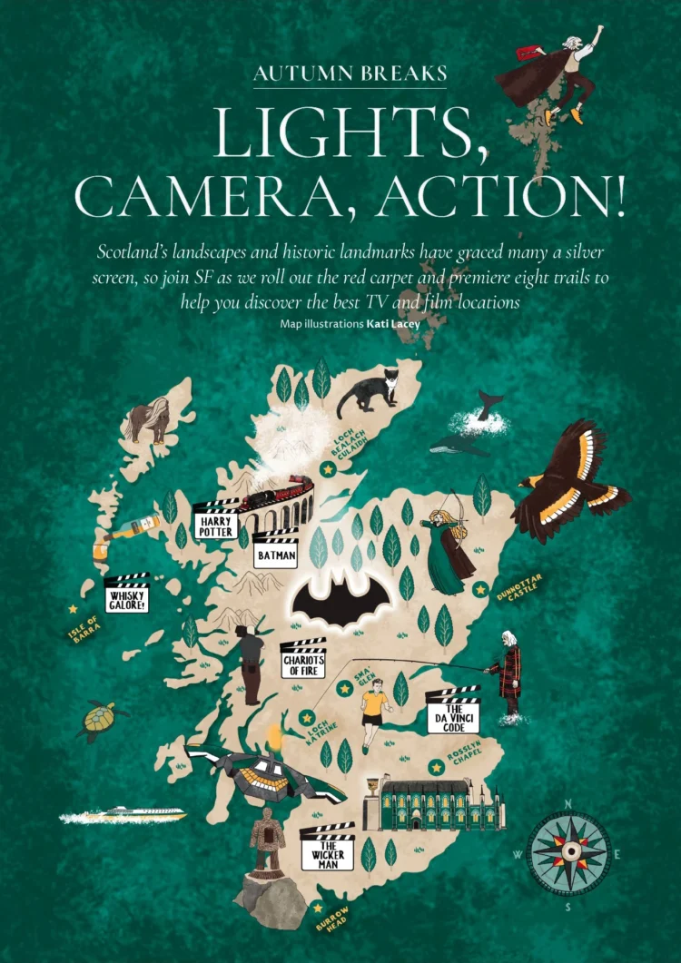
Map Illustrations for Travel and Leisure Magazines

Editorial maps are most popular with magazines, books, newspapers, travel companies and airlines. This example was created for a feature article about film locations in Scotland.
Visitor maps
Visitor maps are designed to support first impressions. Whether used at entrances, in guidebooks or as part of interpretation, they help visitors quickly understand where they are and how to move through a site.
In heritage and cultural settings, visitor maps can also introduce the wider story of a place – showing how buildings, landscapes and routes relate to one another and helping visitors feel more curious and engaged from the outset.
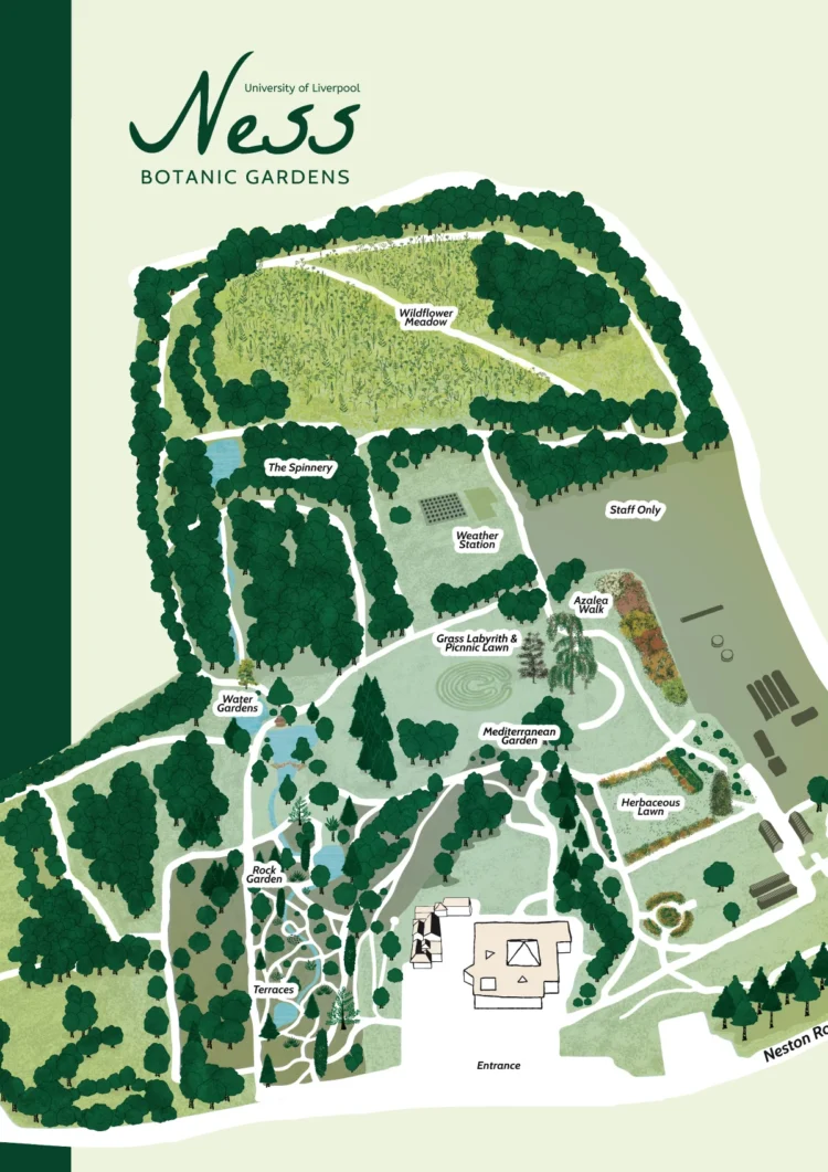
Campus maps

Campus and site maps balance clarity with character. Whether for universities, museums or cultural institutions, these maps help visitors understand how a place is organised and how it is used in everyday life. By showing paths, shared spaces, and points of activity, illustrated site maps can help new visitors feel oriented more quickly and develop a sense of familiarity and ease.
Festival Maps

Festival maps do more than show the route from one stage to another; they reveal the rhythm, energy and culture of the event. By combining practical navigation with storytelling through illustration, festival maps help visitors feel immersed in the experience. These maps make the event legible and engaging while hinting at the human stories, patterns and connections that bring it to life.
Maps for Local Governments

Maps for parks, woodlands and public spaces can reveal how a space is used, lived in and valued. By highlighting key routes, features, and points of interest, these maps invite visitors to notice what is often overlooked and develop a sense of belonging. Through careful visual storytelling, illustrated maps encourage inclusivity, curiosity and engagement, showing the rhythms and interactions that make a public space meaningful to a community.
My map design process in a nutshell
Research
Every project begins with an understanding of the site, its history and its intended audience. This stage helps clarify what information is essential, what can be simplified and where visual storytelling can add meaning.
Careful selection at this stage ensures that the final map feels focused rather than overloaded.
Sketching the layout
Sketching and layout focus on balance, hierarchy and flow. Decisions about scale, level of detail and emphasis are guided by how viewers naturally explore an image.
The aim is to create maps that feel coherent and legible, where each element has a clear purpose within the overall composition.
Creating the illustrations
Final illustrations are produced with flexibility in mind and supplied as digital files suitable for the agreed purposes. If a number of Maps are designed to work across different formats, from interpretation boards and publications to websites and interactive displays.
Adding labels & typography
Choosing a font or creating labels using hand-lettering.
Finishing touches
Colours are applied, often with a specific limited palette that evokes the places’ natural or cultural vibe. The final touches include detailing and refining.
FAQs
What are the benefits of using map illustrations?
Map illustrations can help make maps more engaging, visually interesting, and easier to understand. They can also add a unique aesthetic to maps, making them stand out from more standard map designs.
What types of maps can be illustrated?
Almost any type of map can be illustrated, from city maps to world maps, to thematic maps that display information such as population density or natural resources. Map illustrations can be tailored to fit the specific needs of the project.
How long does it take to create a map illustration?
Maps take time depending on the complexity and the level of detail. Even if your map is simple, allow a few weeks for a map project to be completed.
What should I include in my brief?
I have written extensively about this here, however, ideally you should be able to provide the following: purpose and audience of your map, size if for print, some description of the level of detail required, a list of all the places that should appear on the map, 2D or 3D buildings, any nice-to-haves, usage requirements (promotional or commercial) and the number of people included in the decision-making process.
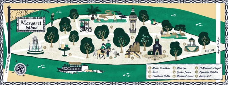
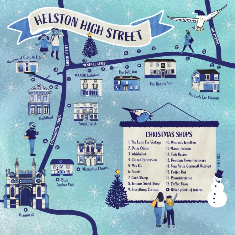
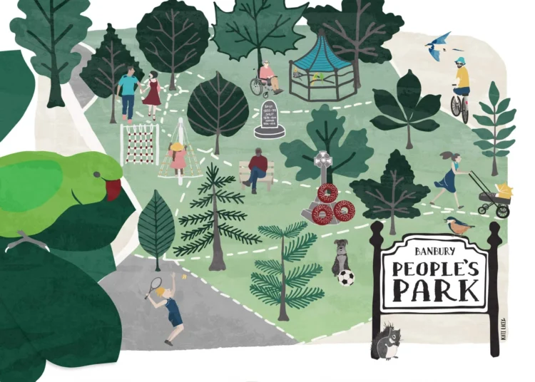
More maps

What others have to say

“Kati has been a pleasure to work with. Her dedication to the project has been consistent from the first minute to the last. She captured perfectly what the Old Fire Station stands for through her extensive research, unique way of seeing, beautiful colour palette and dreamy characters. We are overjoyed with the result!”
Justine Malone
Arts at the Old Fire Station, Oxford
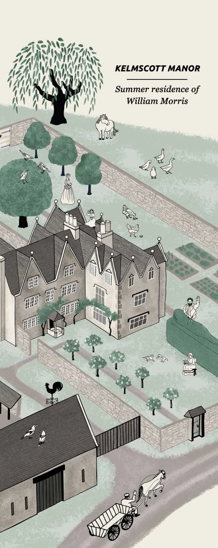
“The illustrations and site-map that Kati has created for Kelmscott Manor are really very successful and everyone associated with the National Lottery Heritage Fund project was equally impressed with their clarity and the way in which the drawings of the Morris family members, birds and other characters work so well with the typography. She has made a delightful contribution to the Interpretation of the Manor and its outbuildings.”
Peter Cormack
MBE FSA Hon. Curatorial Adviser, Kelmscott Manor
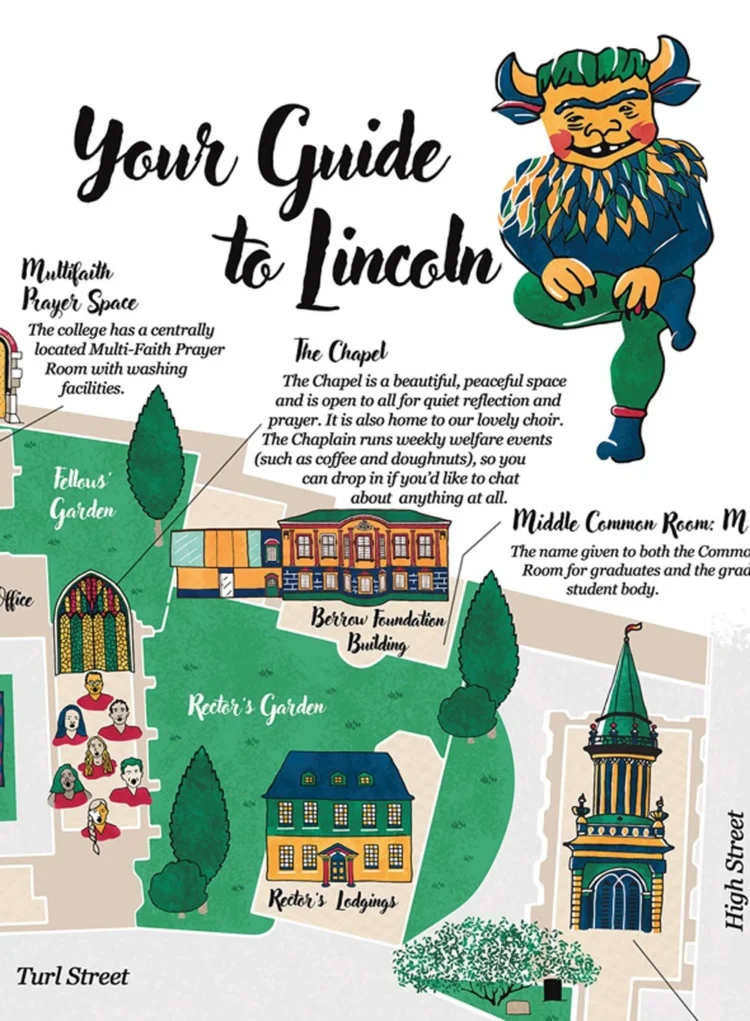
“Kati has been an utter delight to work with and her illustrations have already become a treasured part of our College community. Now, with the map, we have a lovely (and very useful!) souvenir to give our visitors!“
Maryanne Saunders
Lincoln College
“We’re so lucky to be working with such a talented and curious illustrator! Kati’s talent is not just her delicate graphics, but also the wit and insight that she instills in them!”
The Team @
Uncomfortable Oxford
Get in touch
Ready for a chat?
Tell me a little bit about your project and we can take it from there.
I’m not quite ready –
show me more
