Skip to content
Kati Lacey | Freelance illustrator & designer in Banbury, Oxford, UK
  • Portfolio
    • Illustrated maps
    • Non-fiction & interpretation
    • Branding & campaigns
  • Services
    • Maps
    • Non-fiction
    • Branding
    • Book covers
    • Editorial
    • Posters
  • Sectors
    • Museums & heritage
    • Universities & research
    • Publishing
  • Insights
  • About
    • Approach
  • Contact
ILLUSTRATION & DESIGN

Wales

  • Maps
  • Non-fiction & interpretation
  • Branding & campaigns
Home | Portfolio | Wales
Illustration of an Iron Age woman weaving cloth on an upright loom

Iron Age activities: educational illustrations for Aberystwyth University

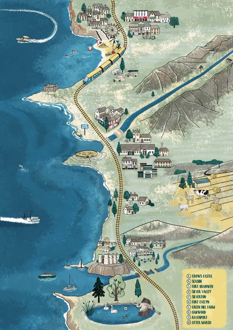
Illustrated educational map of the Welsh coastline for primary schools, with labels in Welsh, Irish and English

Educational map illustration

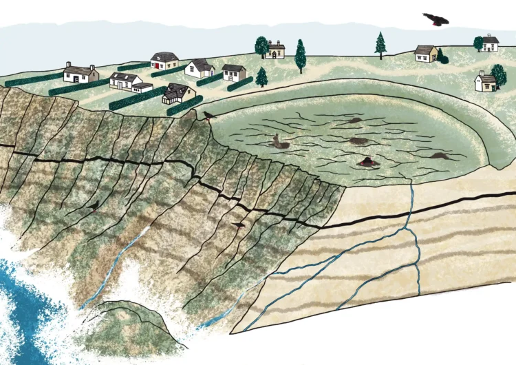
Cut-away diagram of a coastal cliff showing its layers, cracks and water seeping through, with houses near the edge above

Educational landslide diagram illustration

Map illustration cycle route Barmouth bay feature image by Kati Lacey illustrator

Illustrated cycling map

Illustrations of homes through time, from a tent made of skins and an Iron Age roundhouse to stone cottages and a modern brick house

Building illustrations for educational material

Get in touch

Have a place or subject that needs explaining? Tell me about your project – a few lines is enough to start.

Freelance illustrator based in Oxfordshire, working across the UK.

Quick links

Portfolio
Illustrated maps
Non-fiction & interpretation
Brand & campaign illustration
Museums & heritage
Universities & research
How I work
Insights

Keep in touch

Sign up to my newsletter. You can unsubscribe at any time.

© Kati Lacey 2026 • All Rights Reserved. •  Tel: 07939 86 2429 • Privacy Policy • Terms & Conditions