


Project details
Client
University of Aberystwyth
Themes
Sector
Service
Share project


The brief
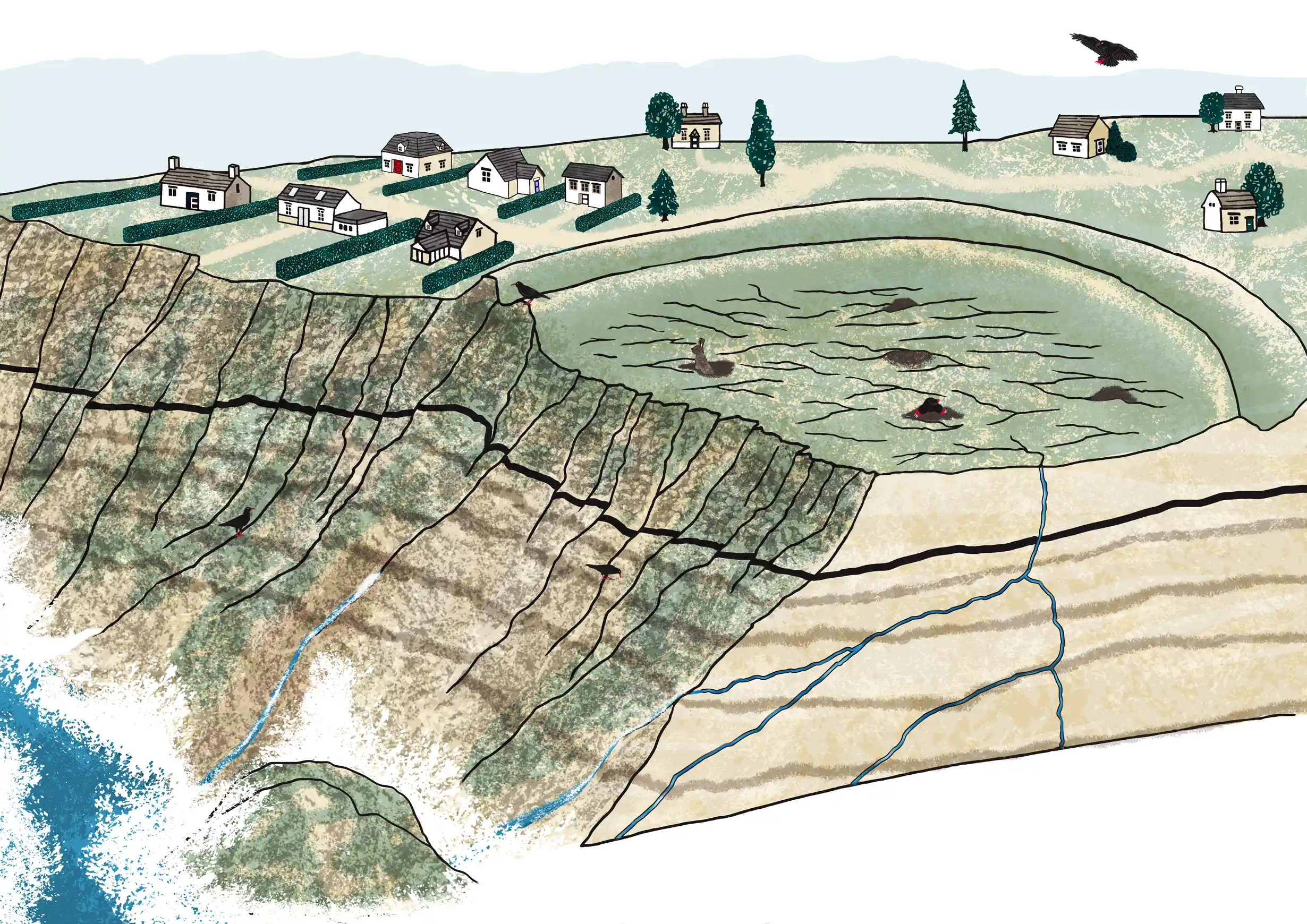
Aberystwyth University commissioned an educational illustration explaining how coastal landslides happen as climate change accelerates erosion. The diagram was designed for primary school children in Wales and made available to download through Hwb, the Welsh education platform.
The approach
A cut-away view of the coastline makes the process easier to understand. It reveals the layers beneath the cliff, the cracks running through them and how water seeps down into the ground. Houses close to the cliff edge help put the science into context, showing the potential consequences of coastal erosion.
The result
An educational diagram that brings a complex geological process to life, helping children understand what happens beneath the surface as well as the impact on the landscape above.

Working on interpretation or a non-fiction book?
I illustrate interpretation panels, exhibitions, learning resources and non-fiction books, researched with the people who know the subject.