Project Background
This educational map illustration was commissioned to be used by children living and learning in Wales. As someone who used to live in Wales for a long time, I was particularly happy to take part in this delightful project, which had several sections to it.
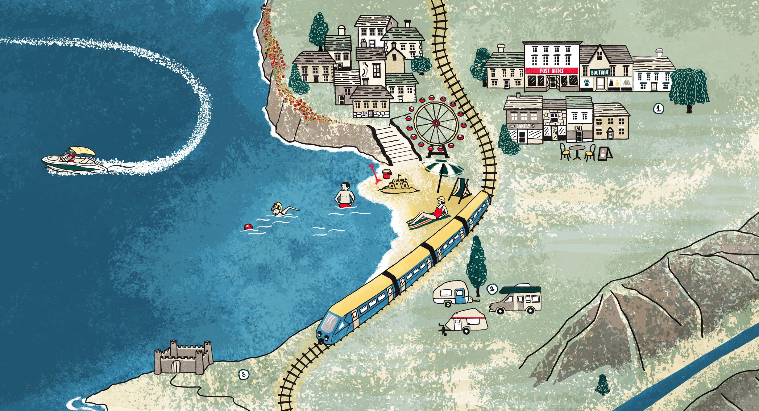
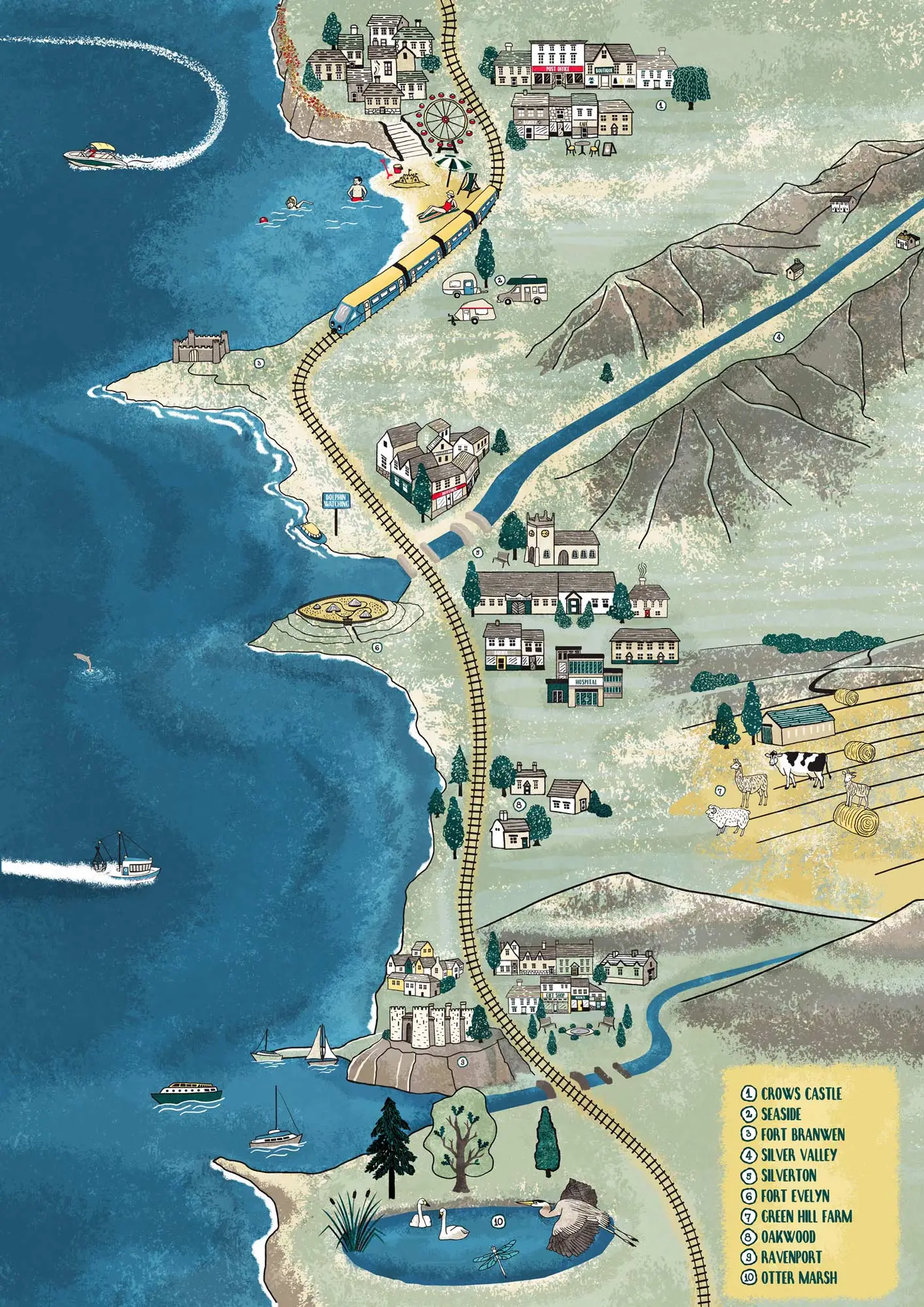
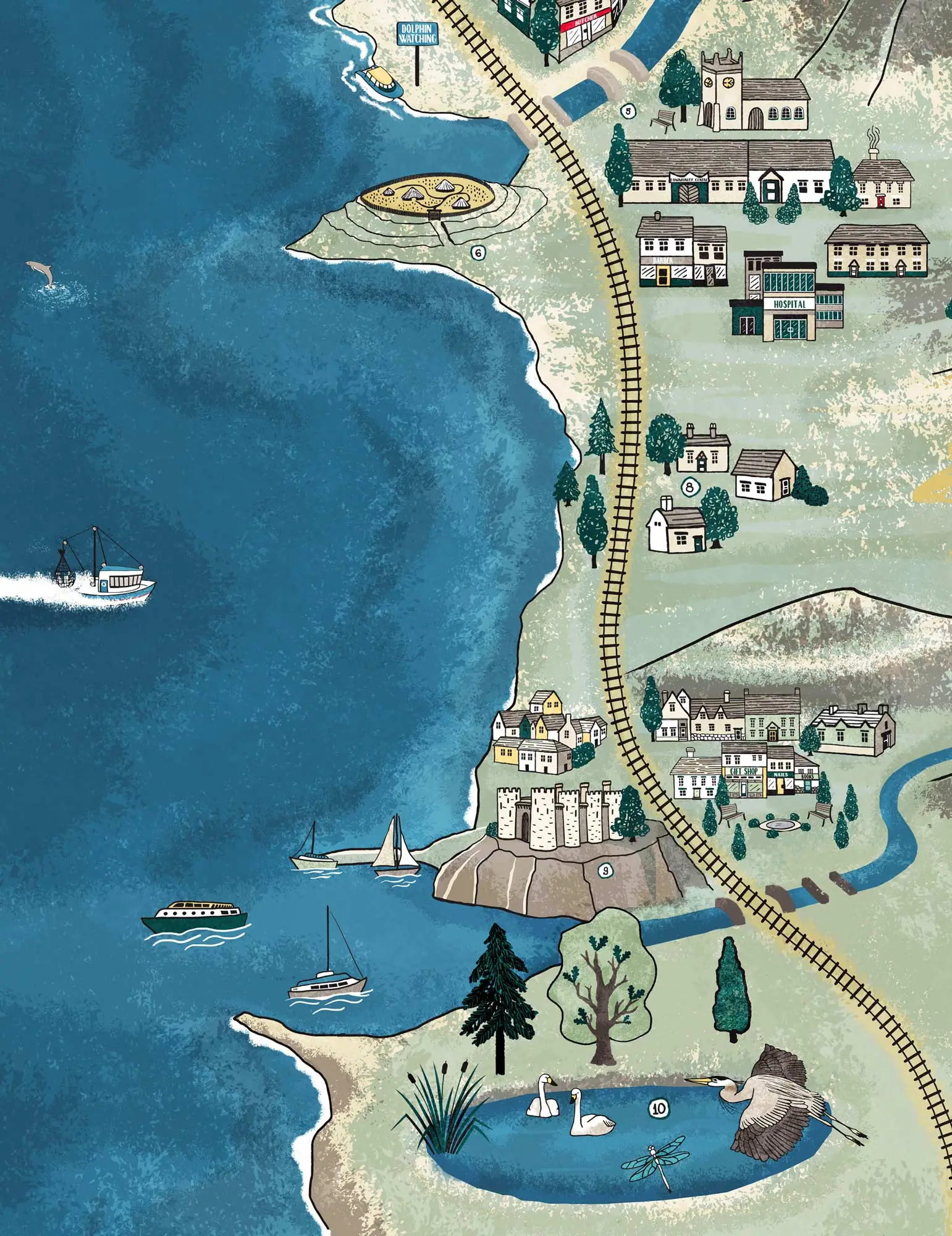
The educational map illustration showcases a typical Welsh coastline that shows signs of iron-age settlements. There is a lot of details from shops, to villages, towns, marine activity and a nature reserve. The maps was designed to go with activities for primary school children in Wales using the Hwb system and was created in three languages: Welsh, Irish and English.
Client
University of Aberystwyth
Themes
Sector
Tourism
Service
SHARE PROJECT